
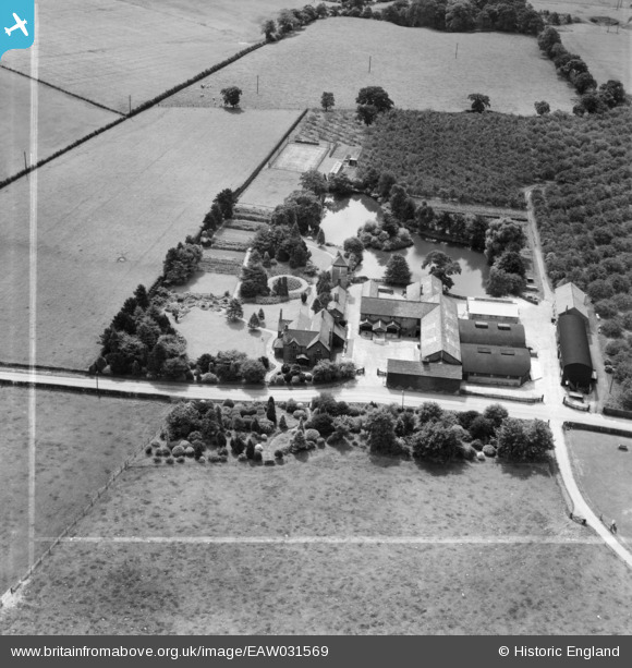
EAW031569 ENGLAND (1950). The Orchards, Twemlow Green, 1950. This image was marked by Aerofilms Ltd for photo editing.
© Copyright OpenStreetMap contributors and licensed by the OpenStreetMap Foundation. 2025. Cartography is licensed as CC BY-SA.
Nearby Images (7)
EAW031569

EAW031572

EAW031570

EAW031571

EAW031573

EAW031577

EAW031576

Details
| Title | [EAW031569] The Orchards, Twemlow Green, 1950. This image was marked by Aerofilms Ltd for photo editing. |
| Reference | EAW031569 |
| Date | 27-July-1950 |
| Link | |
| Place name | TWEMLOW GREEN |
| Parish | TWEMLOW |
| District | |
| Country | ENGLAND |
| Easting / Northing | 377236, 368769 |
| Longitude / Latitude | -2.3409333257821, 53.215207678106 |
| National Grid Reference | SJ772688 |
Pins
Be the first to add a comment to this image!