
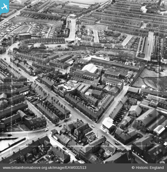
EAW031513 ENGLAND (1950). The Dronsfield Brothers Atlas Works and environs, Oldham, 1950. This image has been produced from a print marked by Aerofilms Ltd for photo editing.
© Copyright OpenStreetMap contributors and licensed by the OpenStreetMap Foundation. 2026. Cartography is licensed as CC BY-SA.
Nearby Images (8)
EAW031513

EAW031514

EAW031520

EAW031516

EAW031519

EAW031515

EAW031517

EAW031518

Details
| Title | [EAW031513] The Dronsfield Brothers Atlas Works and environs, Oldham, 1950. This image has been produced from a print marked by Aerofilms Ltd for photo editing. |
| Reference | EAW031513 |
| Date | 26-July-1950 |
| Link | |
| Place name | OLDHAM |
| Parish | |
| District | |
| Country | ENGLAND |
| Easting / Northing | 392364, 404497 |
| Longitude / Latitude | -2.1152279907383, 53.536821957499 |
| National Grid Reference | SD924045 |
