
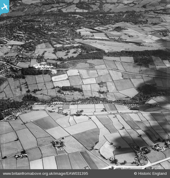
EAW031395 ENGLAND (1950). The Bell Hagg area around Manchester Road, Crookes, 1950
© Copyright OpenStreetMap contributors and licensed by the OpenStreetMap Foundation. 2026. Cartography is licensed as CC BY-SA.
Nearby Images (3)
EAW031395

EAW031394

EAW031396

Details
| Title | [EAW031395] The Bell Hagg area around Manchester Road, Crookes, 1950 |
| Reference | EAW031395 |
| Date | 26-July-1950 |
| Link | |
| Place name | CROOKES |
| Parish | |
| District | |
| Country | ENGLAND |
| Easting / Northing | 430495, 387325 |
| Longitude / Latitude | -1.5415010452869, 53.381629002699 |
| National Grid Reference | SK305873 |
Pins

DA1959 |
Friday 24th of July 2020 06:19:51 PM | |
|
attercliffe |
Sunday 3rd of January 2016 01:45:37 PM | |
|
attercliffe |
Sunday 3rd of January 2016 01:42:16 PM | |
|
attercliffe |
Sunday 3rd of January 2016 01:40:29 PM | |
|
attercliffe |
Sunday 3rd of January 2016 01:39:28 PM | |
|
attercliffe |
Sunday 3rd of January 2016 01:38:45 PM | |
|
attercliffe |
Sunday 3rd of January 2016 01:25:41 PM | |
|
attercliffe |
Sunday 3rd of January 2016 01:24:02 PM | |
|
attercliffe |
Sunday 3rd of January 2016 01:21:15 PM | |
|
attercliffe |
Sunday 3rd of January 2016 01:20:37 PM |