
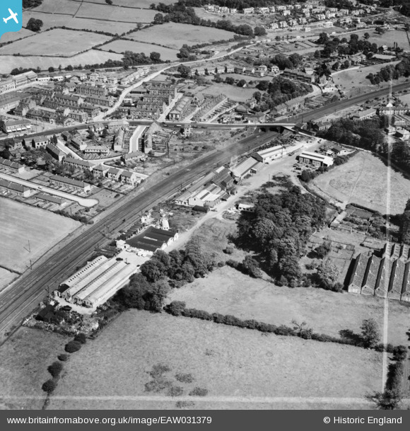
EAW031379 ENGLAND (1950). Crossflatts, Castlefields Foundry and environs, Bingley, 1950. This image was marked by Aerofilms Ltd for photo editing.
© Copyright OpenStreetMap contributors and licensed by the OpenStreetMap Foundation. 2026. Cartography is licensed as CC BY-SA.
Nearby Images (10)
EAW031379

EAW031378

EAW031374

EAW031375

EAW031377

EAW031371

EAW031373

EAW031376

EAW031370

EAW031372

Details
| Title | [EAW031379] Crossflatts, Castlefields Foundry and environs, Bingley, 1950. This image was marked by Aerofilms Ltd for photo editing. |
| Reference | EAW031379 |
| Date | 26-July-1950 |
| Link | |
| Place name | BINGLEY |
| Parish | |
| District | |
| Country | ENGLAND |
| Easting / Northing | 410048, 440425 |
| Longitude / Latitude | -1.8472096608275, 53.85974286016 |
| National Grid Reference | SE100404 |
Pins

John W |
Sunday 4th of September 2016 11:59:01 PM |