
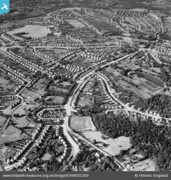
EAW031309 ENGLAND (1950). Ecclesall Road South and environs, Ecclesall, 1950
© Copyright OpenStreetMap contributors and licensed by the OpenStreetMap Foundation. 2026. Cartography is licensed as CC BY-SA.
Nearby Images (4)
EAW031309

EAW031307

EAW031308

EAW031306

Details
| Title | [EAW031309] Ecclesall Road South and environs, Ecclesall, 1950 |
| Reference | EAW031309 |
| Date | 26-July-1950 |
| Link | |
| Place name | ECCLESALL |
| Parish | |
| District | |
| Country | ENGLAND |
| Easting / Northing | 432004, 383764 |
| Longitude / Latitude | -1.5191743061698, 53.349528653223 |
| National Grid Reference | SK320838 |
Pins

Richard Clement |
Thursday 4th of September 2025 04:58:04 PM | |
|
redmist |
Saturday 29th of January 2022 07:22:52 PM | |
|
John Kirk |
Sunday 15th of April 2018 09:41:24 PM | |
|
John Kirk |
Sunday 15th of April 2018 09:40:09 PM |