
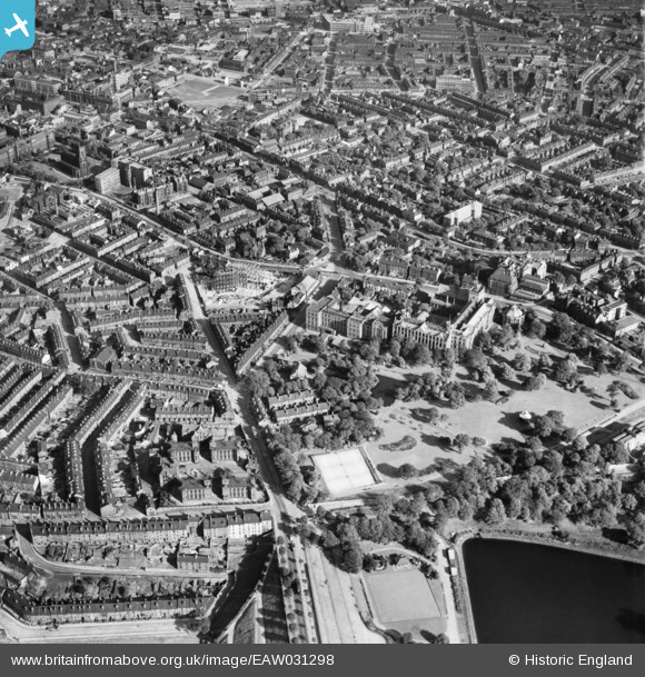
EAW031298 ENGLAND (1950). Weston Park, the University and the city, Sheffield, 1950
© Copyright OpenStreetMap contributors and licensed by the OpenStreetMap Foundation. 2026. Cartography is licensed as CC BY-SA.
Nearby Images (7)
EAW031298

EAW031297

EAW031296

EAW031295

EPW005949

EAW031293

EAW031294

Details
| Title | [EAW031298] Weston Park, the University and the city, Sheffield, 1950 |
| Reference | EAW031298 |
| Date | 26-July-1950 |
| Link | |
| Place name | SHEFFIELD |
| Parish | |
| District | |
| Country | ENGLAND |
| Easting / Northing | 434161, 387382 |
| Longitude / Latitude | -1.4863780706775, 53.381916999646 |
| National Grid Reference | SK342874 |
Pins
Be the first to add a comment to this image!