
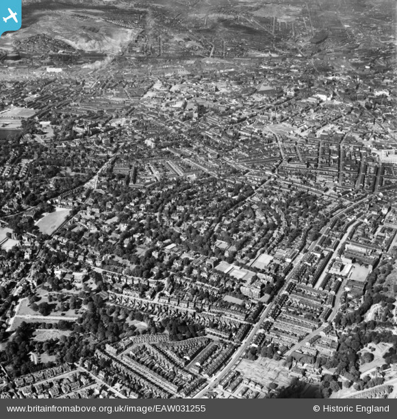
EAW031255 ENGLAND (1950). Broomfield and the surrounding city, Sheffield, 1950
© Copyright OpenStreetMap contributors and licensed by the OpenStreetMap Foundation. 2026. Cartography is licensed as CC BY-SA.
Nearby Images (4)
EAW031255

EAW031258

EAW031256

EPW005948

Details
| Title | [EAW031255] Broomfield and the surrounding city, Sheffield, 1950 |
| Reference | EAW031255 |
| Date | 26-July-1950 |
| Link | |
| Place name | SHEFFIELD |
| Parish | |
| District | |
| Country | ENGLAND |
| Easting / Northing | 434114, 386590 |
| Longitude / Latitude | -1.4871702415262, 53.374800524052 |
| National Grid Reference | SK341866 |
Pins

Hunty |
Tuesday 16th of June 2020 12:29:12 PM | |
|
redmist |
Wednesday 16th of January 2019 10:49:12 PM | |
|
redmist |
Wednesday 10th of October 2018 10:32:30 AM |