
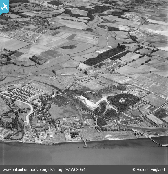
EAW030549 ENGLAND (1950). Beacon Hill, Watt;s Wood and environs, Beacon Hill, 1950
© Copyright OpenStreetMap contributors and licensed by the OpenStreetMap Foundation. 2026. Cartography is licensed as CC BY-SA.
Nearby Images (4)
EAW030549

EPW062019

EAW030550

EAW030543

Details
| Title | [EAW030549] Beacon Hill, Watt;s Wood and environs, Beacon Hill, 1950 |
| Reference | EAW030549 |
| Date | 28-June-1950 |
| Link | |
| Place name | BEACON HILL |
| Parish | |
| District | |
| Country | ENGLAND |
| Easting / Northing | 555747, 178603 |
| Longitude / Latitude | 0.24335989711189, 51.484418128905 |
| National Grid Reference | TQ557786 |
Pins
Be the first to add a comment to this image!