
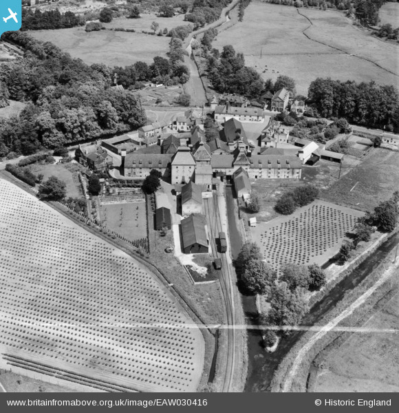
EAW030416 ENGLAND (1950). The Vynne and Everett Ltd Watermill, Narborough, 1950. This image was marked by Aerofilms Ltd for photo editing.
© Copyright OpenStreetMap contributors and licensed by the OpenStreetMap Foundation. 2026. Cartography is licensed as CC BY-SA.
Nearby Images (10)
EAW030416

EAW030421

EAW030420

EAW030417

EAW030418

EAW030419

EAW030414

EAW030415

EAW030413

EAW030422

Details
| Title | [EAW030416] The Vynne and Everett Ltd Watermill, Narborough, 1950. This image was marked by Aerofilms Ltd for photo editing. |
| Reference | EAW030416 |
| Date | 20-June-1950 |
| Link | |
| Place name | NARBOROUGH |
| Parish | NARBOROUGH |
| District | |
| Country | ENGLAND |
| Easting / Northing | 574509, 313264 |
| Longitude / Latitude | 0.58226882194407, 52.688561954886 |
| National Grid Reference | TF745133 |
Pins

Matt Aldred edob.mattaldred.com |
Thursday 8th of May 2025 03:09:50 PM |