
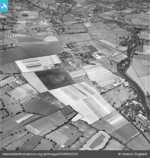
EAW030155 ENGLAND (1950). Builder's Cross and environs, Water Oakley, 1950
© Copyright OpenStreetMap contributors and licensed by the OpenStreetMap Foundation. 2026. Cartography is licensed as CC BY-SA.
Nearby Images (8)
EAW030155

EAW030156

EAW030164

EAW030157

EAW030153

EAW030165

EAW030163

EAW030154

Details
| Title | [EAW030155] Builder's Cross and environs, Water Oakley, 1950 |
| Reference | EAW030155 |
| Date | 5-June-1950 |
| Link | |
| Place name | WATER OAKLEY |
| Parish | BRAY |
| District | |
| Country | ENGLAND |
| Easting / Northing | 491480, 177640 |
| Longitude / Latitude | -0.68222755680039, 51.489813626922 |
| National Grid Reference | SU915776 |
Pins

designking |
Friday 3rd of July 2015 10:42:07 PM | |
|
designking |
Friday 3rd of July 2015 10:39:17 PM | |
|
designking |
Friday 3rd of July 2015 10:37:12 PM | |
|
designking |
Friday 3rd of July 2015 10:22:39 PM | |
|
designking |
Friday 3rd of July 2015 10:17:40 PM |