
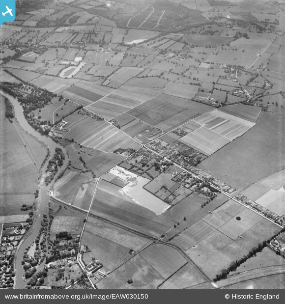
EAW030150 ENGLAND (1950). Builder's Cross and environs, Water Oakley, 1950
© Copyright OpenStreetMap contributors and licensed by the OpenStreetMap Foundation. 2026. Cartography is licensed as CC BY-SA.
Nearby Images (5)
EAW030150

EAW030151

EAW030153

EAW030157

EAW030154

Details
| Title | [EAW030150] Builder's Cross and environs, Water Oakley, 1950 |
| Reference | EAW030150 |
| Date | 5-June-1950 |
| Link | |
| Place name | WATER OAKLEY |
| Parish | BRAY |
| District | |
| Country | ENGLAND |
| Easting / Northing | 491322, 177901 |
| Longitude / Latitude | -0.68443536209549, 51.492185601813 |
| National Grid Reference | SU913779 |
Pins

al |
Friday 24th of January 2020 05:46:42 PM | |
|
designking |
Monday 6th of October 2014 09:38:36 PM | |
|
designking |
Monday 6th of October 2014 09:35:45 PM | |
|
designking |
Monday 6th of October 2014 09:34:50 PM | |
|
designking |
Monday 6th of October 2014 09:31:10 PM | |
|
designking |
Monday 6th of October 2014 09:28:01 PM | |
|
designking |
Monday 6th of October 2014 09:27:17 PM | |
|
designking |
Monday 6th of October 2014 09:18:49 PM |