
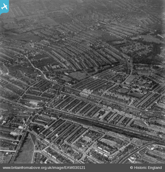
EAW030121 ENGLAND (1950). Tooting Station, Furzedown and Tooting Graveny looking towards Upper Tooting, Tooting Graveney, 1950. This image has been produced from a print.
© Copyright OpenStreetMap contributors and licensed by the OpenStreetMap Foundation. 2026. Cartography is licensed as CC BY-SA.
Nearby Images (3)
EAW030121

EPR000415

EPW047004

Details
| Title | [EAW030121] Tooting Station, Furzedown and Tooting Graveny looking towards Upper Tooting, Tooting Graveney, 1950. This image has been produced from a print. |
| Reference | EAW030121 |
| Date | 6-June-1950 |
| Link | |
| Place name | TOOTING GRAVENEY |
| Parish | |
| District | |
| Country | ENGLAND |
| Easting / Northing | 528158, 171026 |
| Longitude / Latitude | -0.15652907555733, 51.423243432359 |
| National Grid Reference | TQ282710 |
Pins

SSwan |
Saturday 25th of October 2025 11:01:04 AM | |
|
TheTeaQueen |
Thursday 6th of August 2020 05:27:25 PM | |
|
TheTeaQueen |
Thursday 6th of August 2020 05:18:11 PM | |
|
TheTeaQueen |
Tuesday 17th of April 2018 12:18:47 PM | |
|
dashnieuil |
Wednesday 10th of December 2014 02:04:34 PM | |
|
dashnieuil |
Wednesday 10th of December 2014 01:56:29 PM | |
|
dashnieuil |
Wednesday 10th of December 2014 01:21:28 PM | |
|
Rob |
Sunday 16th of November 2014 10:20:55 PM | |
Hi Rob, I'm Sheila and I used to live in a prefab in Drakefield Road off Elmbourne Road by Tooting Bec Common. Saw you have been on the site and was wondering if you remember the prefabs and if you had any photos of them, probably not but worth a try! |
Sheila Louise Sutch |
Wednesday 11th of February 2015 01:44:46 PM |
|
Rob |
Sunday 16th of November 2014 10:19:32 PM | |
|
Rob |
Sunday 16th of November 2014 10:17:15 PM | |
|
Rob |
Sunday 16th of November 2014 10:14:37 PM | |
|
Rob |
Sunday 16th of November 2014 10:13:24 PM | |
|
Rob |
Friday 14th of November 2014 11:37:26 AM | |
|
Rob |
Friday 14th of November 2014 11:36:39 AM | |
Newly constructed at the time of this photo the architect very cleverly had the canteen over the stables and forgot to include a charge room for processing prisoners. The upper floors were flats used as married quarters. |
dashnieuil |
Wednesday 10th of December 2014 02:08:57 PM |
|
brianbeckett |
Wednesday 1st of October 2014 07:36:36 PM | |
|
brianbeckett |
Wednesday 1st of October 2014 07:36:14 PM |
User Comment Contributions
Looking for pictures of prefabs in Drakefield Road Upper Tooting. Have found aerial view of prefabs there under Tooting Graveney 1950, but its not really that clear, so bit disappointed. Does anyone have photos of prefabs in Drakefield/Streathbourne Roads please? |
Sheila Louise Sutch |
Wednesday 11th of February 2015 01:40:11 PM |