
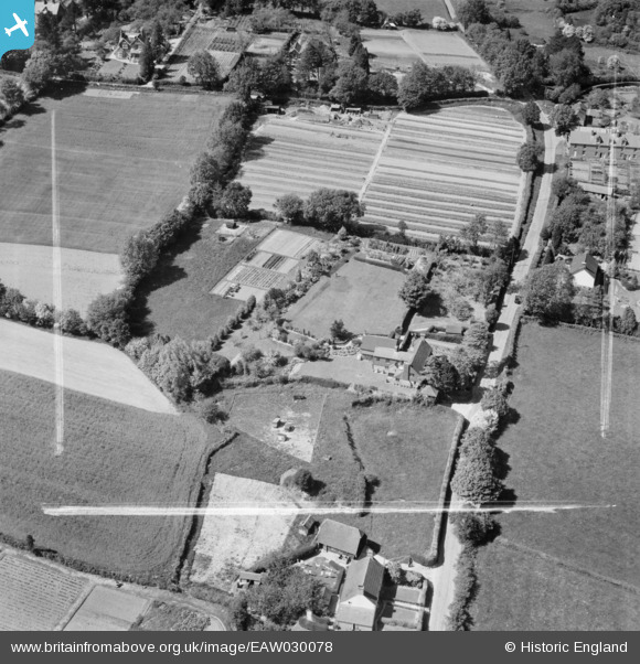
EAW030078 ENGLAND (1950). The Old Bakehouse on Hanging Birch Lane, Waldron, 1950. This image was marked by Aerofilms Ltd for photo editing.
© Copyright OpenStreetMap contributors and licensed by the OpenStreetMap Foundation. 2025. Cartography is licensed as CC BY-SA.
Nearby Images (7)
EAW030078

EAW030080

EAW030075

EAW030074

EAW030077

EAW030079

EAW030076

Details
| Title | [EAW030078] The Old Bakehouse on Hanging Birch Lane, Waldron, 1950. This image was marked by Aerofilms Ltd for photo editing. |
| Reference | EAW030078 |
| Date | 1-June-1950 |
| Link | |
| Place name | WALDRON |
| Parish | HEATHFIELD AND WALDRON |
| District | |
| Country | ENGLAND |
| Easting / Northing | 556551, 118817 |
| Longitude / Latitude | 0.2288264857898, 50.946955856976 |
| National Grid Reference | TQ566188 |
Pins
Be the first to add a comment to this image!