
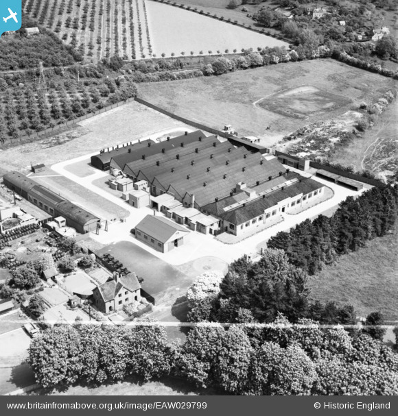
EAW029799 ENGLAND (1950). The Richard Lloyd Ltd Cromwell Engineering Works, Burford, 1950. This image was marked by Aerofilms Ltd for photo editing.
© Copyright OpenStreetMap contributors and licensed by the OpenStreetMap Foundation. 2026. Cartography is licensed as CC BY-SA.
Nearby Images (15)
EAW029799

EAW029806

EAW029801

EAW029803

EAW029804

EAW029802

EAW029809

EAW029800

EAW029807

EAW029808

EAW029805

EAW029811

EAW029813

EAW029812

EAW029810

Details
| Title | [EAW029799] The Richard Lloyd Ltd Cromwell Engineering Works, Burford, 1950. This image was marked by Aerofilms Ltd for photo editing. |
| Reference | EAW029799 |
| Date | 31-May-1950 |
| Link | |
| Place name | BURFORD |
| Parish | BURFORD |
| District | |
| Country | ENGLAND |
| Easting / Northing | 359370, 268869 |
| Longitude / Latitude | -2.5961044533056, 52.316033197063 |
| National Grid Reference | SO594689 |
Pins
Be the first to add a comment to this image!