
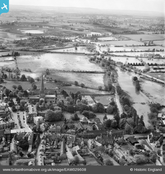
EAW029608 ENGLAND (1950). The Cedars School, All Saints Church and fields in flood around the River Ouzel, Leighton Buzzard, from the north, 1950
© Copyright OpenStreetMap contributors and licensed by the OpenStreetMap Foundation. 2026. Cartography is licensed as CC BY-SA.
Nearby Images (7)
EAW029608

EPW022470

EPW056935

EPW056939

EAW029609

EAW016588

EPW056936

Details
| Title | [EAW029608] The Cedars School, All Saints Church and fields in flood around the River Ouzel, Leighton Buzzard, from the north, 1950 |
| Reference | EAW029608 |
| Date | 22-May-1950 |
| Link | |
| Place name | LEIGHTON BUZZARD |
| Parish | LEIGHTON-LINSLADE |
| District | |
| Country | ENGLAND |
| Easting / Northing | 491831, 224950 |
| Longitude / Latitude | -0.66470958471752, 51.915062971689 |
| National Grid Reference | SP918250 |
Pins
Be the first to add a comment to this image!