
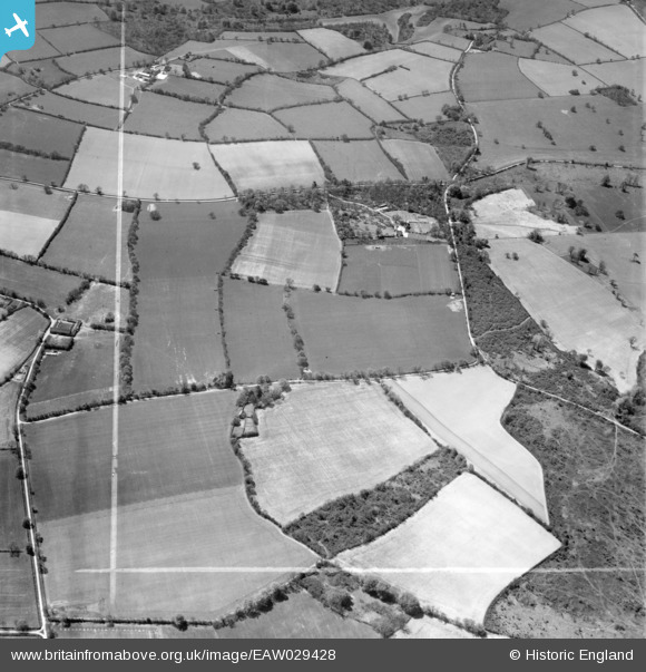
EAW029428 ENGLAND (1950). Countryside around Coles and Seven Wells Plantation, Privett, 1950. This image was marked by Aerofilms Ltd for photo editing.
© Copyright OpenStreetMap contributors and licensed by the OpenStreetMap Foundation. 2025. Cartography is licensed as CC BY-SA.
Nearby Images (3)
EAW029428

EAW029427

EAW029429

Details
| Title | [EAW029428] Countryside around Coles and Seven Wells Plantation, Privett, 1950. This image was marked by Aerofilms Ltd for photo editing. |
| Reference | EAW029428 |
| Date | 12-May-1950 |
| Link | |
| Place name | PRIVETT |
| Parish | FROXFIELD |
| District | |
| Country | ENGLAND |
| Easting / Northing | 469519, 128239 |
| Longitude / Latitude | -1.0081266565335, 51.048752126094 |
| National Grid Reference | SU695282 |
Pins
Be the first to add a comment to this image!