
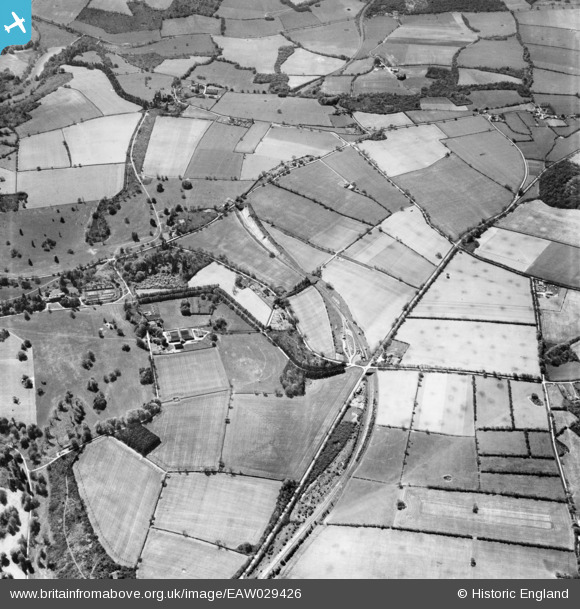
EAW029426 ENGLAND (1950). Countryside around Basing Farm, Privett, 1950
© Copyright OpenStreetMap contributors and licensed by the OpenStreetMap Foundation. 2026. Cartography is licensed as CC BY-SA.
Nearby Images (2)
EAW029426

EAW029424

Details
| Title | [EAW029426] Countryside around Basing Farm, Privett, 1950 |
| Reference | EAW029426 |
| Date | 12-May-1950 |
| Link | |
| Place name | PRIVETT |
| Parish | FROXFIELD |
| District | |
| Country | ENGLAND |
| Easting / Northing | 467459, 128294 |
| Longitude / Latitude | -1.0375032743239, 51.049492387729 |
| National Grid Reference | SU675283 |
Pins

flubber |
Friday 14th of February 2014 11:22:31 AM |