
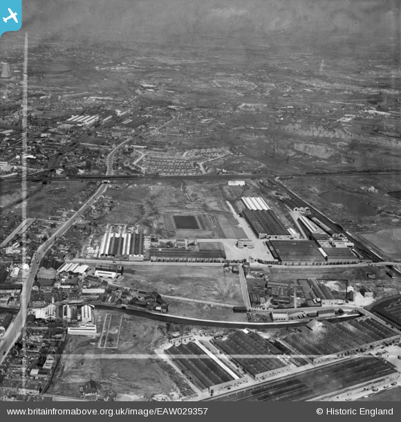
EAW029357 ENGLAND (1950). Vono Ltd Spring Mattress Works and environs, Dudley Port, from the south-west, 1950. This image was marked by Aerofilms Ltd for photo editing.
© Copyright OpenStreetMap contributors and licensed by the OpenStreetMap Foundation. 2026. Cartography is licensed as CC BY-SA.
Nearby Images (4)
EAW029357

EAW015302

EAW015307

EAW029358

Details
| Title | [EAW029357] Vono Ltd Spring Mattress Works and environs, Dudley Port, from the south-west, 1950. This image was marked by Aerofilms Ltd for photo editing. |
| Reference | EAW029357 |
| Date | 10-May-1950 |
| Link | |
| Place name | DUDLEY PORT |
| Parish | |
| District | |
| Country | ENGLAND |
| Easting / Northing | 396580, 291203 |
| Longitude / Latitude | -2.0504065697936, 52.518333702997 |
| National Grid Reference | SO966912 |
Pins

Claire |
Sunday 1st of January 2023 09:15:49 PM | |
|
dek55 |
Wednesday 8th of December 2021 11:47:26 AM | |
|
fisha519 |
Tuesday 31st of December 2019 02:58:24 PM | |
|
Steve P |
Thursday 3rd of April 2014 04:26:38 PM | |
|
Steve P |
Thursday 3rd of April 2014 04:05:33 PM | |
|
Steve P |
Thursday 3rd of April 2014 04:04:51 PM | |
|
DaveT |
Monday 31st of March 2014 05:58:23 PM | |
|
DaveT |
Monday 31st of March 2014 05:53:23 PM | |
|
DaveT |
Tuesday 18th of March 2014 01:33:36 PM | |
|
DaveT |
Tuesday 18th of March 2014 09:13:25 AM | |
|
NigelS |
Friday 21st of February 2014 04:20:17 PM |