
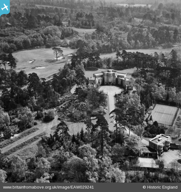
EAW029241 ENGLAND (1950). Hamstone House, St George's Hill, 1950
© Copyright OpenStreetMap contributors and licensed by the OpenStreetMap Foundation. 2025. Cartography is licensed as CC BY-SA.
Nearby Images (4)
EAW029241

EAW029242

EAW029240

EAW029243

Details
| Title | [EAW029241] Hamstone House, St George's Hill, 1950 |
| Reference | EAW029241 |
| Date | 9-May-1950 |
| Link | |
| Place name | ST GEORGE'S HILL |
| Parish | |
| District | |
| Country | ENGLAND |
| Easting / Northing | 507789, 161782 |
| Longitude / Latitude | -0.45220443120314, 51.344386373454 |
| National Grid Reference | TQ078618 |
Pins
Be the first to add a comment to this image!