
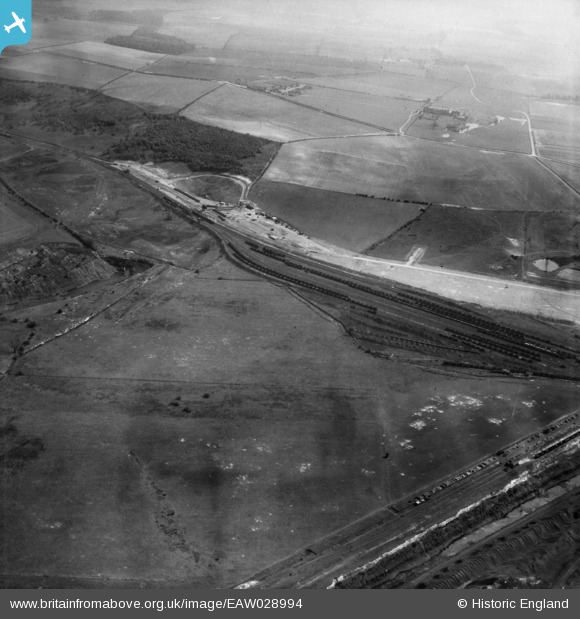
EAW028994 ENGLAND (1950). Dragonby Ironstone Mine and environs, Dragonby, 1950
© Copyright OpenStreetMap contributors and licensed by the OpenStreetMap Foundation. 2026. Cartography is licensed as CC BY-SA.
Nearby Images (6)
EAW028994

EAW028997

EAW028984

EAW028991

EAW028985

EAW028989

Details
| Title | [EAW028994] Dragonby Ironstone Mine and environs, Dragonby, 1950 |
| Reference | EAW028994 |
| Date | 8-May-1950 |
| Link | |
| Place name | DRAGONBY |
| Parish | ROXBY CUM RISBY |
| District | |
| Country | ENGLAND |
| Easting / Northing | 490137, 414544 |
| Longitude / Latitude | -0.63713182138579, 53.61943425143 |
| National Grid Reference | SE901145 |
