
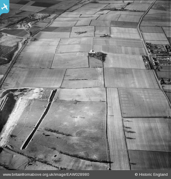
EAW028980 ENGLAND (1950). Old Cliff Farm and the surrounding countryside, Winterton, 1950
© Copyright OpenStreetMap contributors and licensed by the OpenStreetMap Foundation. 2026. Cartography is licensed as CC BY-SA.
Nearby Images (2)
EAW028980

EAW028893

Details
| Title | [EAW028980] Old Cliff Farm and the surrounding countryside, Winterton, 1950 |
| Reference | EAW028980 |
| Date | 5-May-1950 |
| Link | |
| Place name | WINTERTON |
| Parish | WINTERTON |
| District | |
| Country | ENGLAND |
| Easting / Northing | 491322, 417765 |
| Longitude / Latitude | -0.61827473863776, 53.648174921532 |
| National Grid Reference | SE913178 |
Pins

DaveH |
Monday 18th of November 2019 05:07:38 PM | |
|
DaveH |
Monday 18th of November 2019 05:07:17 PM | |
|
DaveH |
Monday 18th of November 2019 05:05:42 PM | |
|
DaveH |
Monday 18th of November 2019 05:05:08 PM | |
|
James Chandler |
Thursday 27th of March 2014 04:12:16 PM |