
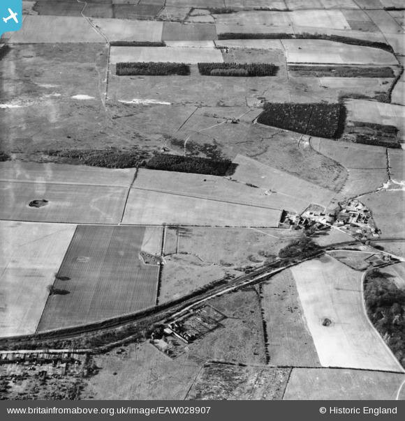
EAW028907 ENGLAND (1950). Low Santon Farm, Rough Bottom Plantation and the surrounding countryside, Santon, 1950
© Copyright OpenStreetMap contributors and licensed by the OpenStreetMap Foundation. 2026. Cartography is licensed as CC BY-SA.
Details
| Title | [EAW028907] Low Santon Farm, Rough Bottom Plantation and the surrounding countryside, Santon, 1950 |
| Reference | EAW028907 |
| Date | 5-May-1950 |
| Link | |
| Place name | SANTON |
| Parish | APPLEBY |
| District | |
| Country | ENGLAND |
| Easting / Northing | 493725, 412855 |
| Longitude / Latitude | -0.58340749055449, 53.603626085325 |
| National Grid Reference | SE937129 |
Pins

Dougie |
Friday 6th of May 2022 11:26:41 PM | |
|
Dougie |
Friday 6th of May 2022 11:24:19 PM | |
|
Dougie |
Friday 6th of May 2022 11:21:51 PM | |
|
redmist |
Tuesday 8th of January 2019 08:05:39 PM |