
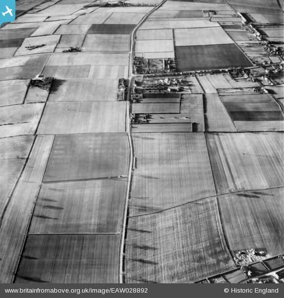
EAW028892 ENGLAND (1950). Housing off Roxby Road and Earlsgate Road, Roxby, 1950
© Copyright OpenStreetMap contributors and licensed by the OpenStreetMap Foundation. 2026. Cartography is licensed as CC BY-SA.
Nearby Images (2)
EAW028892

EAW028979

Details
| Title | [EAW028892] Housing off Roxby Road and Earlsgate Road, Roxby, 1950 |
| Reference | EAW028892 |
| Date | 5-May-1950 |
| Link | |
| Place name | ROXBY |
| Parish | ROXBY CUM RISBY |
| District | |
| Country | ENGLAND |
| Easting / Northing | 491851, 417710 |
| Longitude / Latitude | -0.61028966858361, 53.647588040309 |
| National Grid Reference | SE919177 |
Pins
Be the first to add a comment to this image!