
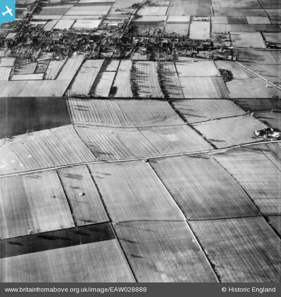
EAW028888 ENGLAND (1950). The town of Winterton and North Street, Roxby, 1950
© Copyright OpenStreetMap contributors and licensed by the OpenStreetMap Foundation. 2026. Cartography is licensed as CC BY-SA.
Nearby Images (3)
EAW028888

EAW028978

EAW028889

Details
| Title | [EAW028888] The town of Winterton and North Street, Roxby, 1950 |
| Reference | EAW028888 |
| Date | 5-May-1950 |
| Link | |
| Place name | ROXBY |
| Parish | ROXBY CUM RISBY |
| District | |
| Country | ENGLAND |
| Easting / Northing | 493338, 417527 |
| Longitude / Latitude | -0.58785368972281, 53.645680303074 |
| National Grid Reference | SE933175 |
Pins

totoro |
Sunday 16th of March 2014 09:21:06 PM | |
|
totoro |
Sunday 16th of March 2014 09:20:15 PM | |
|
totoro |
Sunday 16th of March 2014 09:19:50 PM | |
|
totoro |
Sunday 16th of March 2014 09:18:29 PM | |
|
totoro |
Sunday 16th of March 2014 09:18:08 PM | |
|
totoro |
Sunday 16th of March 2014 09:17:41 PM | |
|
totoro |
Sunday 16th of March 2014 09:17:06 PM | |
|
totoro |
Sunday 16th of March 2014 09:16:48 PM |