
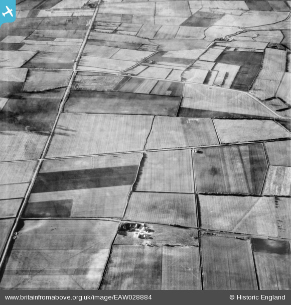
EAW028884 ENGLAND (1950). Roxby Carrs and the course of Ermine Street Roman Road, Roxby, 1950
© Copyright OpenStreetMap contributors and licensed by the OpenStreetMap Foundation. 2026. Cartography is licensed as CC BY-SA.
Nearby Images (2)
EAW028884

EAW028966

Details
| Title | [EAW028884] Roxby Carrs and the course of Ermine Street Roman Road, Roxby, 1950 |
| Reference | EAW028884 |
| Date | 5-May-1950 |
| Link | |
| Place name | ROXBY |
| Parish | ROXBY CUM RISBY |
| District | |
| Country | ENGLAND |
| Easting / Northing | 494875, 417699 |
| Longitude / Latitude | -0.56455528894981, 53.646949487951 |
| National Grid Reference | SE949177 |
Pins

totoro |
Sunday 16th of March 2014 09:45:53 PM | |
|
totoro |
Sunday 16th of March 2014 09:44:36 PM | |
|
totoro |
Sunday 16th of March 2014 09:43:47 PM | |
Or Rat Abbey Farm. This was the home from 1826 to 1835 of the British landscape painter, etcher and printmaker Samuel Palmer (1805-1881) |
totoro |
Sunday 16th of March 2014 10:03:23 PM |
|
totoro |
Sunday 16th of March 2014 09:42:59 PM | |
|
totoro |
Sunday 16th of March 2014 09:42:22 PM | |
|
totoro |
Sunday 16th of March 2014 09:42:06 PM |