
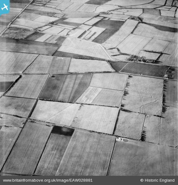
EAW028881 ENGLAND (1950). Roxby Carrs, Roxby, 1950
© Copyright OpenStreetMap contributors and licensed by the OpenStreetMap Foundation. 2026. Cartography is licensed as CC BY-SA.
Nearby Images (2)
EAW028881

EAW028965

Details
| Title | [EAW028881] Roxby Carrs, Roxby, 1950 |
| Reference | EAW028881 |
| Date | 5-May-1950 |
| Link | |
| Place name | ROXBY |
| Parish | ROXBY CUM RISBY |
| District | |
| Country | ENGLAND |
| Easting / Northing | 495319, 417623 |
| Longitude / Latitude | -0.55786327526425, 53.646185809977 |
| National Grid Reference | SE953176 |
