
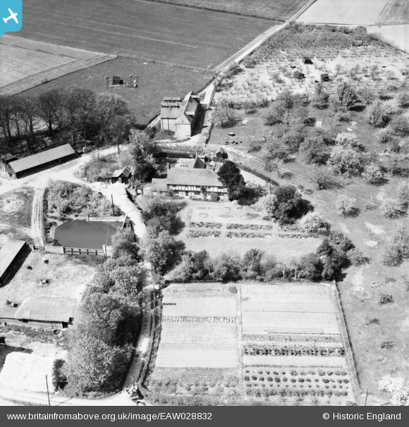
EAW028832 ENGLAND (1950). Dene Farm, Wingham, 1950
© Copyright OpenStreetMap contributors and licensed by the OpenStreetMap Foundation. 2026. Cartography is licensed as CC BY-SA.
Nearby Images (5)
EAW028832

EAW028831

EAW028835

EAW028834

EAW028833

Details
| Title | [EAW028832] Dene Farm, Wingham, 1950 |
| Reference | EAW028832 |
| Date | 1-May-1950 |
| Link | |
| Place name | WINGHAM |
| Parish | WINGHAM |
| District | |
| Country | ENGLAND |
| Easting / Northing | 624161, 155894 |
| Longitude / Latitude | 1.213049849988, 51.257555833172 |
| National Grid Reference | TR242559 |
Pins
Be the first to add a comment to this image!