
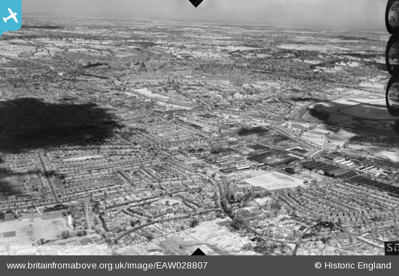
EAW028807 ENGLAND (1950). An infra red test photograph of the Hendon area, Queensbury, from the south-west, 1950
© Copyright OpenStreetMap contributors and licensed by the OpenStreetMap Foundation. 2026. Cartography is licensed as CC BY-SA.
Nearby Images (5)
EAW028807

EAW044041

EAW013893

EAW013881

EAW051383

Details
| Title | [EAW028807] An infra red test photograph of the Hendon area, Queensbury, from the south-west, 1950 |
| Reference | EAW028807 |
| Date | 1950 |
| Link | |
| Place name | QUEENSBURY |
| Parish | |
| District | |
| Country | ENGLAND |
| Easting / Northing | 520123, 189555 |
| Longitude / Latitude | -0.26573563795431, 51.591549500283 |
| National Grid Reference | TQ201896 |
Pins

Mark Amies |
Sunday 6th of December 2015 05:38:51 PM |