
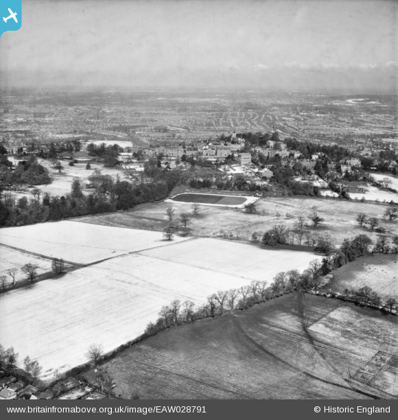
EAW028791 ENGLAND (1950). Fields alongside Harrow Park and Harrow School in the snow, Harrow on the Hill, from the east, 1950
© Copyright OpenStreetMap contributors and licensed by the OpenStreetMap Foundation. 2026. Cartography is licensed as CC BY-SA.
Nearby Images (2)
EAW028791

EAW028792

Details
| Title | [EAW028791] Fields alongside Harrow Park and Harrow School in the snow, Harrow on the Hill, from the east, 1950 |
| Reference | EAW028791 |
| Date | 25-April-1950 |
| Link | |
| Place name | HARROW ON THE HILL |
| Parish | |
| District | |
| Country | ENGLAND |
| Easting / Northing | 516047, 187012 |
| Longitude / Latitude | -0.32539553412412, 51.569546142406 |
| National Grid Reference | TQ160870 |
Pins

Matt Aldred edob.mattaldred.com |
Saturday 25th of March 2023 06:23:19 PM | |

The Laird |
Saturday 2nd of July 2016 07:04:57 PM | |
|
The Laird |
Wednesday 25th of June 2014 08:03:50 PM | |
|
The Laird |
Wednesday 25th of June 2014 08:02:34 PM | |
|
The Laird |
Wednesday 25th of June 2014 07:56:19 PM | |
|
The Laird |
Wednesday 25th of June 2014 07:55:27 PM | |
|
The Laird |
Wednesday 25th of June 2014 07:44:15 PM | |
|
The Laird |
Wednesday 25th of June 2014 07:40:46 PM | |
|
The Laird |
Wednesday 25th of June 2014 07:37:26 PM | |
|
The Laird |
Wednesday 25th of June 2014 07:36:47 PM | |
|
The Laird |
Wednesday 25th of June 2014 07:35:06 PM | |

Class31 |
Sunday 6th of April 2014 04:27:34 PM |
