
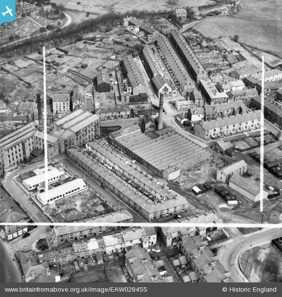
EAW028455 ENGLAND (1950). Higher Mill, Rawtenstall, 1950. This image was marked by Aerofilms Ltd for photo editing.
© Copyright OpenStreetMap contributors and licensed by the OpenStreetMap Foundation. 2026. Cartography is licensed as CC BY-SA.
Nearby Images (7)
EAW028455

EAW028456

EAW028457

EAW028458

EAW028452

EAW028453

EAW028454

Details
| Title | [EAW028455] Higher Mill, Rawtenstall, 1950. This image was marked by Aerofilms Ltd for photo editing. |
| Reference | EAW028455 |
| Date | 25-March-1950 |
| Link | |
| Place name | RAWTENSTALL |
| Parish | |
| District | |
| Country | ENGLAND |
| Easting / Northing | 381403, 423079 |
| Longitude / Latitude | -2.2817391029892, 53.703585010997 |
| National Grid Reference | SD814231 |
Pins

The Local Historian |
Monday 23rd of December 2019 03:57:23 PM |