
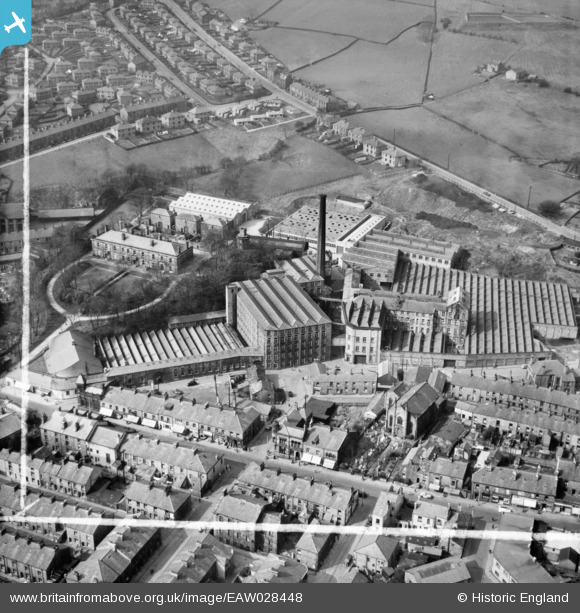
EAW028448 ENGLAND (1950). Lower Mill, Rawtenstall, 1950. This image was marked by Aerofilms Ltd for photo editing.
© Copyright OpenStreetMap contributors and licensed by the OpenStreetMap Foundation. 2026. Cartography is licensed as CC BY-SA.
Nearby Images (9)
EAW028448

EAW028446

EAW028444

EAW028445

EAW028450

EAW028451

EAW028447

EAW028443

EAW028449

Details
| Title | [EAW028448] Lower Mill, Rawtenstall, 1950. This image was marked by Aerofilms Ltd for photo editing. |
| Reference | EAW028448 |
| Date | 25-March-1950 |
| Link | |
| Place name | RAWTENSTALL |
| Parish | |
| District | |
| Country | ENGLAND |
| Easting / Northing | 381130, 422930 |
| Longitude / Latitude | -2.2858658398383, 53.702235846356 |
| National Grid Reference | SD811229 |
Pins

The Local Historian |
Thursday 4th of February 2021 11:04:51 AM | |
|
wadey |
Tuesday 7th of July 2015 09:23:15 PM | |
|
wadey |
Tuesday 7th of July 2015 09:22:51 PM |