
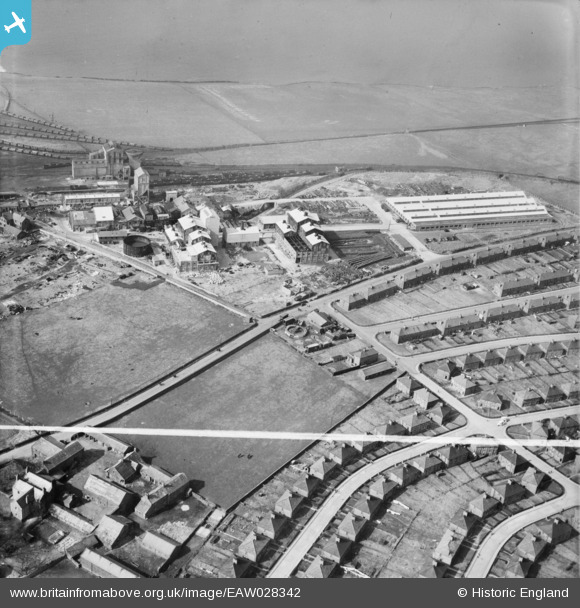
EAW028342 ENGLAND (1950). High Road and the Marchon Chemical Works, Whitehaven, 1950. This image was marked by Aerofilms Ltd for photo editing.
© Copyright OpenStreetMap contributors and licensed by the OpenStreetMap Foundation. 2026. Cartography is licensed as CC BY-SA.
Nearby Images (18)
EAW028342

EAW028344

EAW028341

EAW028347

EAW028345

EAW019748

EAW028339

EAW028340

EAW028349

EAW028346

EAW019749

EAW019746

EAW019747

EAW028348

EAW019743A

EAW028343

EPW042093

EPW042094

Details
| Title | [EAW028342] High Road and the Marchon Chemical Works, Whitehaven, 1950. This image was marked by Aerofilms Ltd for photo editing. |
| Reference | EAW028342 |
| Date | 26-March-1950 |
| Link | |
| Place name | WHITEHAVEN |
| Parish | |
| District | |
| Country | ENGLAND |
| Easting / Northing | 296754, 516170 |
| Longitude / Latitude | -3.5956445231054, 54.530142503961 |
| National Grid Reference | NX968162 |
Pins
Be the first to add a comment to this image!