
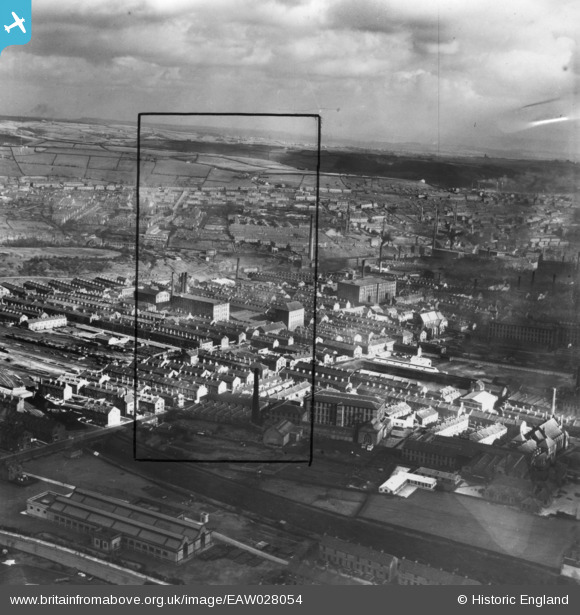
EAW028054 ENGLAND (1950). The town, Halifax, from the south-west, 1950. This image has been produced from a print marked by Aerofilms Ltd for photo editing.
© Copyright OpenStreetMap contributors and licensed by the OpenStreetMap Foundation. 2026. Cartography is licensed as CC BY-SA.
Nearby Images (4)
EAW028054

EAW028040

EAW004557

EAW004558

Details
| Title | [EAW028054] The town, Halifax, from the south-west, 1950. This image has been produced from a print marked by Aerofilms Ltd for photo editing. |
| Reference | EAW028054 |
| Date | 21-February-1950 |
| Link | |
| Place name | HALIFAX |
| Parish | |
| District | |
| Country | ENGLAND |
| Easting / Northing | 407777, 425350 |
| Longitude / Latitude | -1.8821230248729, 53.724272635329 |
| National Grid Reference | SE078254 |
Pins

RT |
Monday 12th of March 2018 02:34:50 PM | |
|
RT |
Monday 12th of March 2018 11:30:44 AM | |
|
RT |
Monday 12th of March 2018 11:30:13 AM | |
|
RT |
Monday 12th of March 2018 11:29:18 AM | |
|
RT |
Monday 12th of March 2018 11:27:01 AM | |
|
RT |
Monday 12th of March 2018 11:23:17 AM | |
|
RT |
Monday 12th of March 2018 11:16:50 AM |