
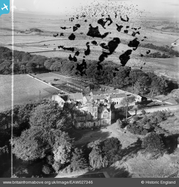
EAW027346 ENGLAND (1949). Moor Park and Moor Park Farm, Beckwithshaw, 1949. This image has been produced from a damaged negative.
© Copyright OpenStreetMap contributors and licensed by the OpenStreetMap Foundation. 2026. Cartography is licensed as CC BY-SA.
Nearby Images (4)
EAW027346

EAW027343

EAW027345

EAW027344

Details
| Title | [EAW027346] Moor Park and Moor Park Farm, Beckwithshaw, 1949. This image has been produced from a damaged negative. |
| Reference | EAW027346 |
| Date | 24-October-1949 |
| Link | |
| Place name | BECKWITHSHAW |
| Parish | PANNAL |
| District | |
| Country | ENGLAND |
| Easting / Northing | 425757, 453248 |
| Longitude / Latitude | -1.6072620465698, 53.974462181086 |
| National Grid Reference | SE258532 |
Pins
Be the first to add a comment to this image!