
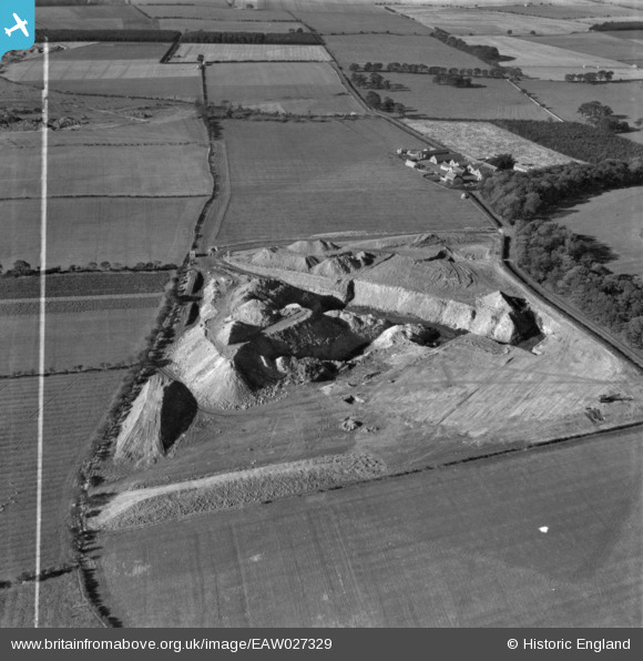
EAW027329 ENGLAND (1949). Part of the Brenkley Opencast Coal Mining Site, Brenkley, 1949. This image has been produced from a print marked by Aerofilms Ltd for photo editing.
© Copyright OpenStreetMap contributors and licensed by the OpenStreetMap Foundation. 2026. Cartography is licensed as CC BY-SA.
Nearby Images (2)
EAW027329

EAW027321

Details
| Title | [EAW027329] Part of the Brenkley Opencast Coal Mining Site, Brenkley, 1949. This image has been produced from a print marked by Aerofilms Ltd for photo editing. |
| Reference | EAW027329 |
| Date | 21-October-1949 |
| Link | |
| Place name | BRENKLEY |
| Parish | DINNINGTON |
| District | |
| Country | ENGLAND |
| Easting / Northing | 422030, 575964 |
| Longitude / Latitude | -1.6549117590678, 55.07757708535 |
| National Grid Reference | NZ220760 |
Pins
Be the first to add a comment to this image!