
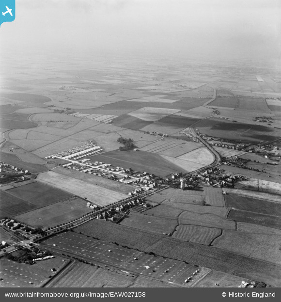
EAW027158 ENGLAND (1949). Burgh Road, Lyndhurst Avenue and the surrounding area, Skegness, from the north-east, 1949
© Copyright OpenStreetMap contributors and licensed by the OpenStreetMap Foundation. 2026. Cartography is licensed as CC BY-SA.
Nearby Images (4)
EAW027158

EAW027161

EAW027162

EAW027159

Details
| Title | [EAW027158] Burgh Road, Lyndhurst Avenue and the surrounding area, Skegness, from the north-east, 1949 |
| Reference | EAW027158 |
| Date | 12-October-1949 |
| Link | |
| Place name | SKEGNESS |
| Parish | SKEGNESS |
| District | |
| Country | ENGLAND |
| Easting / Northing | 556005, 364316 |
| Longitude / Latitude | 0.33325346732022, 53.152805703371 |
| National Grid Reference | TF560643 |
Pins

Ilkestonian |
Tuesday 30th of April 2019 11:14:09 PM |