
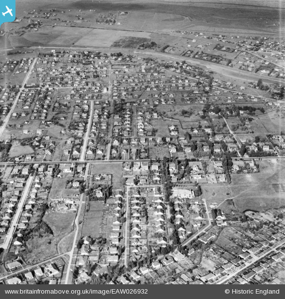
EAW026932 ENGLAND (1949). Runnymede Road, Long Road and the surrounding residential area, Canvey Island, 1949
© Copyright OpenStreetMap contributors and licensed by the OpenStreetMap Foundation. 2026. Cartography is licensed as CC BY-SA.
Nearby Images (2)
EAW026932

EAW048240

Details
| Title | [EAW026932] Runnymede Road, Long Road and the surrounding residential area, Canvey Island, 1949 |
| Reference | EAW026932 |
| Date | 2-October-1949 |
| Link | |
| Place name | CANVEY ISLAND |
| Parish | CANVEY ISLAND |
| District | |
| Country | ENGLAND |
| Easting / Northing | 579553, 183403 |
| Longitude / Latitude | 0.58835079314456, 51.5204814631 |
| National Grid Reference | TQ796834 |
Pins
Be the first to add a comment to this image!