
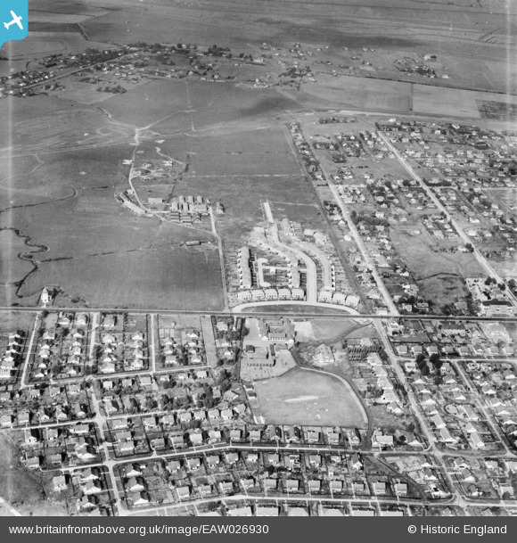
EAW026930 ENGLAND (1949). Thameside Crescent, Long Road and the surrounding residential area, Canvey Island, 1949
© Copyright OpenStreetMap contributors and licensed by the OpenStreetMap Foundation. 2026. Cartography is licensed as CC BY-SA.
Nearby Images (4)
EAW026930

EAW045332

EAW045310

EAW045311

Details
| Title | [EAW026930] Thameside Crescent, Long Road and the surrounding residential area, Canvey Island, 1949 |
| Reference | EAW026930 |
| Date | 2-October-1949 |
| Link | |
| Place name | CANVEY ISLAND |
| Parish | CANVEY ISLAND |
| District | |
| Country | ENGLAND |
| Easting / Northing | 578975, 183414 |
| Longitude / Latitude | 0.58003330921575, 51.520763735291 |
| National Grid Reference | TQ790834 |
Pins
 |

redmist |
Wednesday 1st of February 2023 11:29:01 PM |