
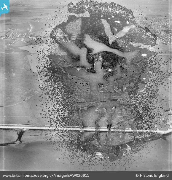
EAW026911 ENGLAND (1949). The southern shore of the island, Canvey Island, 1949. This image has been produced from a damaged negative.
© Copyright OpenStreetMap contributors and licensed by the OpenStreetMap Foundation. 2026. Cartography is licensed as CC BY-SA.
Nearby Images (3)
EAW026911

EAW051020

EAW026912

Details
| Title | [EAW026911] The southern shore of the island, Canvey Island, 1949. This image has been produced from a damaged negative. |
| Reference | EAW026911 |
| Date | 2-October-1949 |
| Link | |
| Place name | CANVEY ISLAND |
| Parish | CANVEY ISLAND |
| District | |
| Country | ENGLAND |
| Easting / Northing | 578485, 182125 |
| Longitude / Latitude | 0.57232458309604, 51.509339181038 |
| National Grid Reference | TQ785821 |
