
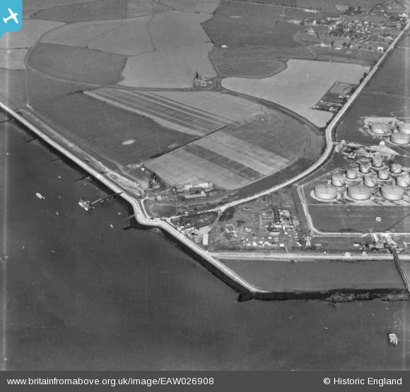
EAW026908 ENGLAND (1949). Holehaven Point, Canvey Island, 1949. This image has been produced from a print.
© Copyright OpenStreetMap contributors and licensed by the OpenStreetMap Foundation. 2026. Cartography is licensed as CC BY-SA.
Nearby Images (3)
EAW026908

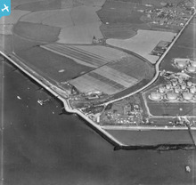
EPW056003

EPW055996

Details
| Title | [EAW026908] Holehaven Point, Canvey Island, 1949. This image has been produced from a print. |
| Reference | EAW026908 |
| Date | 2-October-1949 |
| Link | |
| Place name | CANVEY ISLAND |
| Parish | CANVEY ISLAND |
| District | |
| Country | ENGLAND |
| Easting / Northing | 577288, 182332 |
| Longitude / Latitude | 0.55519603599583, 51.511575631874 |
| National Grid Reference | TQ773823 |
Pins

redmist |
Monday 30th of January 2023 09:33:00 PM | |
|
redmist |
Monday 30th of January 2023 09:29:43 PM | |

Matt Aldred edob.mattaldred.com |
Friday 1st of January 2021 04:32:55 PM | |
|
Matt Aldred edob.mattaldred.com |
Friday 1st of January 2021 04:31:33 PM | |
|
Matt Aldred edob.mattaldred.com |
Friday 1st of January 2021 04:31:21 PM | |
|
cptpies |
Monday 24th of November 2014 12:00:15 PM | |
|
cptpies |
Monday 24th of November 2014 11:59:45 AM |
User Comment Contributions
Pillboxes at Canvey Island. |
cptpies |
Monday 24th of November 2014 12:01:12 PM |