
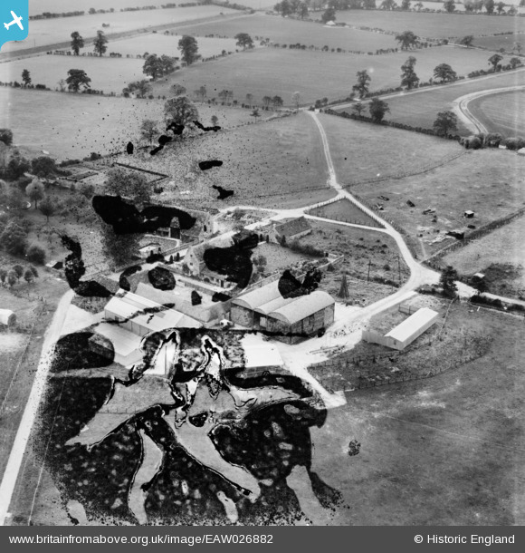
EAW026882 ENGLAND (1949). Farleaze Farm, Hullavington, 1949. This image has been produced from a damaged negative.
© Copyright OpenStreetMap contributors and licensed by the OpenStreetMap Foundation. 2026. Cartography is licensed as CC BY-SA.
Nearby Images (5)
EAW026882

EAW026883

EAW026884

EAW026885

EAW026881

Details
| Title | [EAW026882] Farleaze Farm, Hullavington, 1949. This image has been produced from a damaged negative. |
| Reference | EAW026882 |
| Date | 2-October-1949 |
| Link | |
| Place name | HULLAVINGTON |
| Parish | HULLAVINGTON |
| District | |
| Country | ENGLAND |
| Easting / Northing | 387017, 183279 |
| Longitude / Latitude | -2.1872544749141, 51.547775851183 |
| National Grid Reference | ST870833 |
Pins

Class31 |
Wednesday 12th of February 2014 10:38:52 PM |