
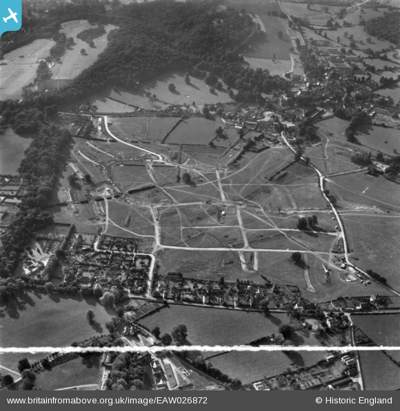
EAW026872 ENGLAND (1949). Henbury Housing Estate under construction, Henbury, 1949. This image has been produced from a print marked by Aerofilms Ltd for photo editing.
© Copyright OpenStreetMap contributors and licensed by the OpenStreetMap Foundation. 2026. Cartography is licensed as CC BY-SA.
Nearby Images (7)
EAW026872

EAW026876

EAW026877

EAW026871

EAW026874

EAW026873
, Henbury, 1949. This image has been produced from a damaged negative.")
EAW026875

Details
| Title | [EAW026872] Henbury Housing Estate under construction, Henbury, 1949. This image has been produced from a print marked by Aerofilms Ltd for photo editing. |
| Reference | EAW026872 |
| Date | 2-October-1949 |
| Link | |
| Place name | HENBURY |
| Parish | |
| District | |
| Country | ENGLAND |
| Easting / Northing | 356998, 178767 |
| Longitude / Latitude | -2.6196513099017, 51.505714627413 |
| National Grid Reference | ST570788 |
