
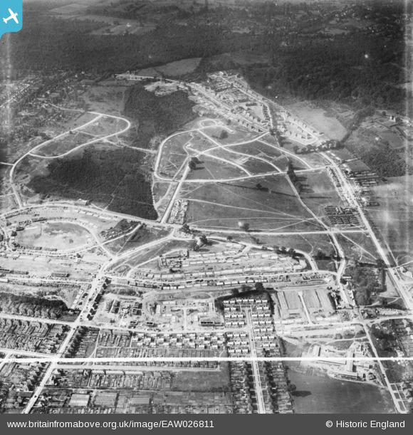
EAW026811 ENGLAND (1949). Housing estate under construction at St Paul's Cray, Bromley, 1949. This image was marked by Aerofilms Ltd for photo editing.
© Copyright OpenStreetMap contributors and licensed by the OpenStreetMap Foundation. 2026. Cartography is licensed as CC BY-SA.
Nearby Images (3)
EAW026811

EAW021758

EAW020734

Details
| Title | [EAW026811] Housing estate under construction at St Paul's Cray, Bromley, 1949. This image was marked by Aerofilms Ltd for photo editing. |
| Reference | EAW026811 |
| Date | 3-October-1949 |
| Link | |
| Place name | BROMLEY |
| Parish | |
| District | |
| Country | ENGLAND |
| Easting / Northing | 546328, 169431 |
| Longitude / Latitude | 0.10399870939103, 51.404509745247 |
| National Grid Reference | TQ463694 |
Pins

Post-war prefabs |
Saturday 2nd of November 2019 11:20:31 AM |