
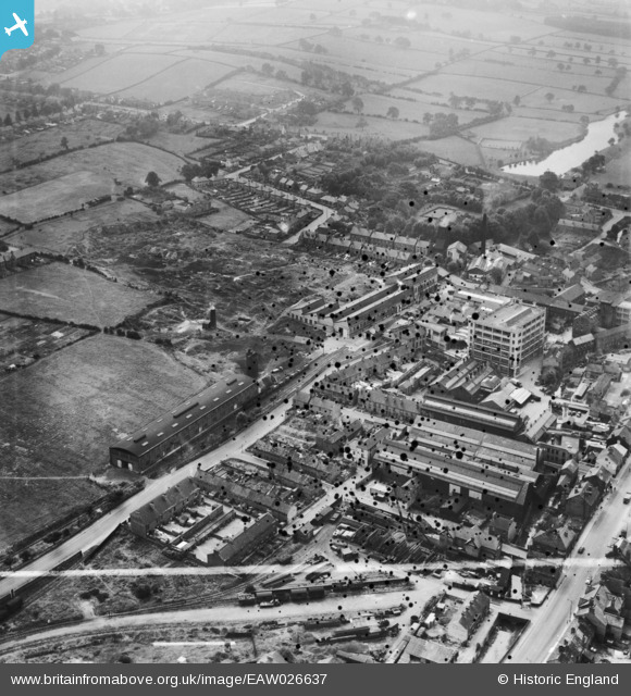
EAW026637 ENGLAND (1949). Factories along Goyt Side Road, Chesterfield, 1949. This image was marked by Aerofilms Ltd for photo editing.
© Copyright OpenStreetMap contributors and licensed by the OpenStreetMap Foundation. 2026. Cartography is licensed as CC BY-SA.
Nearby Images (5)
EAW026637

EAW026638

EAW026635

EAW026636

EAW026634

Details
| Title | [EAW026637] Factories along Goyt Side Road, Chesterfield, 1949. This image was marked by Aerofilms Ltd for photo editing. |
| Reference | EAW026637 |
| Date | 19-September-1949 |
| Link | |
| Place name | CHESTERFIELD |
| Parish | |
| District | |
| Country | ENGLAND |
| Easting / Northing | 436878, 370620 |
| Longitude / Latitude | -1.4474777959399, 53.231055058233 |
| National Grid Reference | SK369706 |
Pins

redmist |
Sunday 2nd of August 2020 10:59:09 PM | |
|
talltim |
Friday 2nd of September 2016 04:37:36 PM | |
|
talltim |
Friday 2nd of September 2016 04:13:36 PM | |
|
Pete L |
Friday 6th of June 2014 10:35:50 PM | |
|
Pete L |
Friday 6th of June 2014 10:31:38 PM | |
|
Pete L |
Friday 6th of June 2014 10:28:34 PM | |
|
Pete L |
Friday 6th of June 2014 10:23:05 PM | |
|
Pete L |
Friday 6th of June 2014 10:18:46 PM | |
|
Pete L |
Friday 6th of June 2014 10:16:55 PM |