
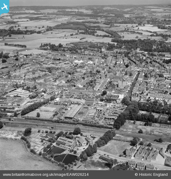
EAW026214 ENGLAND (1949). The Cattle Market and town, Ashford, from the south, 1949
© Copyright OpenStreetMap contributors and licensed by the OpenStreetMap Foundation. 2026. Cartography is licensed as CC BY-SA.
Nearby Images (4)
EAW026214

EAW013658

EAW026215

EPW041207

Details
| Title | [EAW026214] The Cattle Market and town, Ashford, from the south, 1949 |
| Reference | EAW026214 |
| Date | 12-August-1949 |
| Link | |
| Place name | ASHFORD |
| Parish | |
| District | |
| Country | ENGLAND |
| Easting / Northing | 600715, 142461 |
| Longitude / Latitude | 0.86994935398115, 51.145642610656 |
| National Grid Reference | TR007425 |
Pins

Matt Aldred edob.mattaldred.com |
Thursday 12th of October 2023 07:34:16 PM | |
|
Matt Aldred edob.mattaldred.com |
Thursday 12th of October 2023 07:33:53 PM | |

B.R.E.L.I.E. |
Monday 1st of September 2014 04:48:52 PM |