
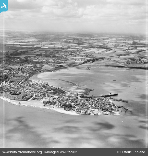
EAW025902 ENGLAND (1949). The town, Harwich, from the north-east, 1949
© Copyright OpenStreetMap contributors and licensed by the OpenStreetMap Foundation. 2026. Cartography is licensed as CC BY-SA.
Nearby Images (5)
EAW025902

EAW025901

EPW039288

EPW039289

EAW043678

Details
| Title | [EAW025902] The town, Harwich, from the north-east, 1949 |
| Reference | EAW025902 |
| Date | 10-August-1949 |
| Link | |
| Place name | HARWICH |
| Parish | HARWICH |
| District | |
| Country | ENGLAND |
| Easting / Northing | 626252, 232725 |
| Longitude / Latitude | 1.2925335137133, 51.946496926174 |
| National Grid Reference | TM263327 |
Pins
Be the first to add a comment to this image!