
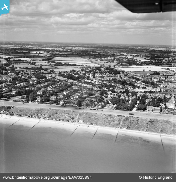
EAW025894 ENGLAND (1949). The Esplanade and town, Frinton-On-Sea, from the south-east, 1949
© Copyright OpenStreetMap contributors and licensed by the OpenStreetMap Foundation. 2026. Cartography is licensed as CC BY-SA.
Details
| Title | [EAW025894] The Esplanade and town, Frinton-On-Sea, from the south-east, 1949 |
| Reference | EAW025894 |
| Date | 10-August-1949 |
| Link | |
| Place name | FRINTON-ON-SEA |
| Parish | FRINTON AND WALTON |
| District | |
| Country | ENGLAND |
| Easting / Northing | 624302, 220016 |
| Longitude / Latitude | 1.2559418936405, 51.833193463466 |
| National Grid Reference | TM243200 |
Pins

Matt Aldred edob.mattaldred.com |
Tuesday 1st of December 2020 08:28:08 PM | |

cptpies |
Friday 23rd of October 2015 12:25:09 PM |
User Comment Contributions

Anti Tank Pimples, Frinton-on-Sea |
cptpies |
Friday 23rd of October 2015 12:28:47 PM |