
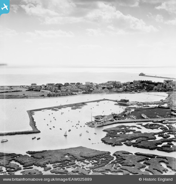
EAW025889 ENGLAND (1949). Walton & Frinton Yacht Club House and Walton Mere, Walton-On-The-Naze, from the north-west, 1949
© Copyright OpenStreetMap contributors and licensed by the OpenStreetMap Foundation. 2026. Cartography is licensed as CC BY-SA.
Nearby Images (4)
EAW025889

EAW025890

EAW025891

EAW038356

Details
| Title | [EAW025889] Walton & Frinton Yacht Club House and Walton Mere, Walton-On-The-Naze, from the north-west, 1949 |
| Reference | EAW025889 |
| Date | 10-August-1949 |
| Link | |
| Place name | WALTON-ON-THE-NAZE |
| Parish | FRINTON AND WALTON |
| District | |
| Country | ENGLAND |
| Easting / Northing | 625229, 222333 |
| Longitude / Latitude | 1.2708832819505, 51.85362093955 |
| National Grid Reference | TM252223 |

