
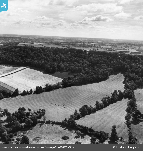
EAW025667 ENGLAND (1949). Part of Edge Hill Wood, Radway, from the west, 1949. This image has been produced from a print.
© Copyright OpenStreetMap contributors and licensed by the OpenStreetMap Foundation. 2026. Cartography is licensed as CC BY-SA.
Nearby Images (2)
EAW025667

EPW061740

Details
| Title | [EAW025667] Part of Edge Hill Wood, Radway, from the west, 1949. This image has been produced from a print. |
| Reference | EAW025667 |
| Date | 4-August-1949 |
| Link | |
| Place name | RADWAY |
| Parish | RADWAY |
| District | |
| Country | ENGLAND |
| Easting / Northing | 437376, 248033 |
| Longitude / Latitude | -1.4539370050971, 52.128928181236 |
| National Grid Reference | SP374480 |
Pins
Be the first to add a comment to this image!