
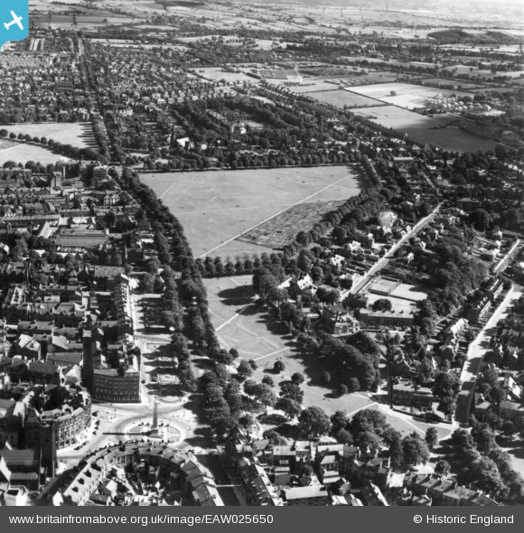
EAW025650 ENGLAND (1949). West Park and part of the Stray or Two Hundred Acre, Harrogate, 1949. This image has been produced from a print.
© Copyright OpenStreetMap contributors and licensed by the OpenStreetMap Foundation. 2026. Cartography is licensed as CC BY-SA.
Nearby Images (3)
EAW025650

EAW025654

EPW006597

Details
| Title | [EAW025650] West Park and part of the Stray or Two Hundred Acre, Harrogate, 1949. This image has been produced from a print. |
| Reference | EAW025650 |
| Date | 3-August-1949 |
| Link | |
| Place name | HARROGATE |
| Parish | |
| District | |
| Country | ENGLAND |
| Easting / Northing | 430089, 454938 |
| Longitude / Latitude | -1.5410437307431, 53.989418642922 |
| National Grid Reference | SE301549 |
Pins
Be the first to add a comment to this image!